 Country and Sector Profile
Liberia lies on the Atlantic coast of West Africa and borders Sierra Leone, Guinea and Côte d'Ivoire. It covers 111,000 km² and has a 537 km coastline. Its population is about 5.4 million, of whom more than 1.1 million live in the capital, Monrovia. The country has 15 counties and 16 indigenous ethnic groups, and English is the official language. It has a tropical climate, with a rainy season from May to November and a dry season from November to April.
Area
Coastline
Population
Live in Monrovia
Counties
Indigenous ethnic groups
 The Economy
Agriculture employs about 70% of the population. Iron ore, natural rubber and timber are the main exports and the main source of foreign exchange. Nimba County is the country's principal iron ore region. Forests cover about 4.79 million hectares, 58% of the land area, and hold about 40% of the remaining Upper Guinean rainforest in West Africa. Liberia imports all of its petroleum fuels.
Of the population employed in agriculture
Main exports; Nimba County is the principal iron ore region
Of forest, 58% of the land area, holding about 40% of the remaining Upper Guinean rainforest in West Africa
Liberia imports all of its petroleum fuels
The Power Sector
Since reconstruction began after the civil war, installed capacity has grown from about 22 MW in 2014 to about 126 MW in 2024, and electricity access has roughly doubled to about 32.5%. Customer connections nearly doubled in two years, from 142,947 in 2021 to 282,505 in 2023. The residential tariff has fallen from USD 0.52/kWh in 2014 to USD 0.24/kWh, though it remains among the highest in the region.
Installed capacity in 2024, up from about 22 MW in 2014
Electricity access, roughly doubled
Customer connections in 2023, up from 142,947 in 2021
Residential tariff per kWh, down from USD 0.52/kWh in 2014
| Source | Capacity | Role |
|---|---|---|
| Mount Coffee Hydropower | 88 MW | About 70% of generation; output falls sharply in the dry season |
| Heavy fuel oil plants, Bushrod Island | 38 MW | High-cost backup for dry-season deficits |
| Regional imports via CLSG | Up to ~50 MW | From Côte d'Ivoire and Guinea; supply often interrupted |
The Supply Gap
In the dry season Mount Coffee's output can fall to about 30 to 57 MW.
Disruptions on the regional line have at times cut Liberia's import share to 10 to 15 MW, causing severe load-shedding.
With only a third of the population connected, true demand is far higher than measured demand. Peak demand is projected to reach about 388 MW by 2030.
Under the World Bank and African Development Bank Mission 300 initiative, Liberia's National Energy Compact targets 75% electricity access and a 75% renewable share by 2030, with about 100,000 new connections a year. The Government has launched procurement for utility-scale solar power. LGE's projects contribute directly to these goals.
Electricity access by 2030
Renewable share by 2030
New connections a year
Plateaus above sea level
Why Nimba County
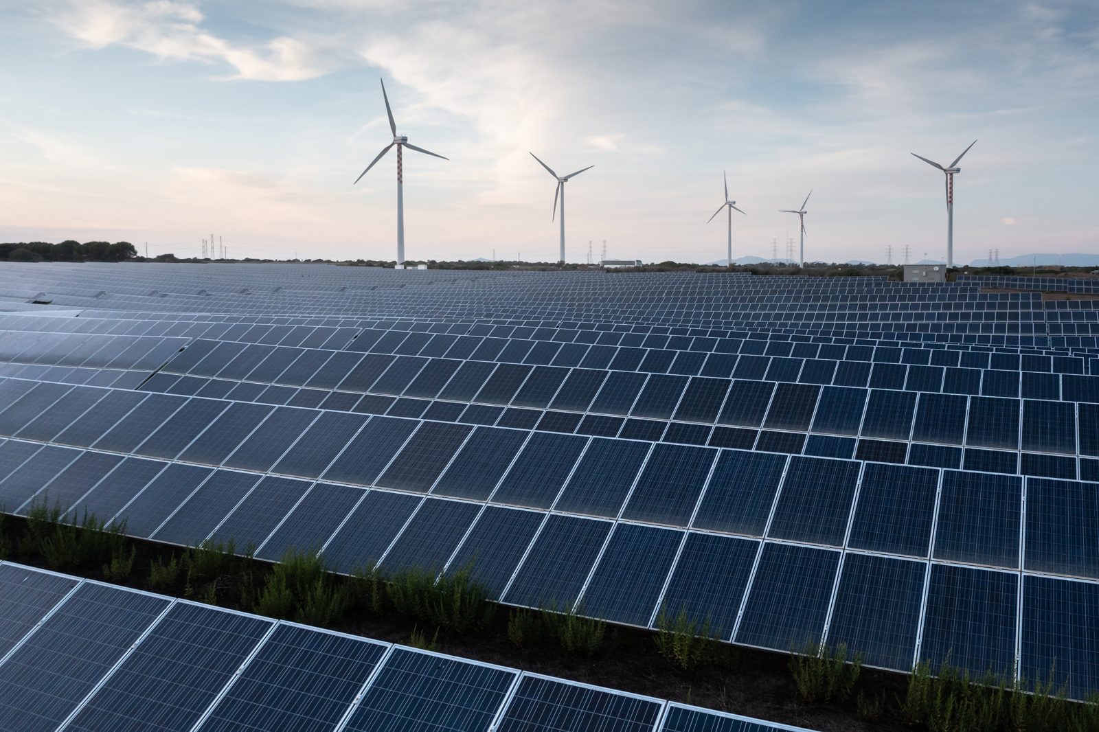
Nimba is an upland county of rolling plateaus 400 to 550 metres above sea level. It is drier, sunnier and cooler than the coast, and it hosts the Yekepa substation on the Côte d'Ivoire, Liberia, Sierra Leone and Guinea (CLSG) interconnector, which forms part of the West African Power Pool. This combination of strong sunshine, available land, mining and industrial demand, and a direct connection to the regional grid makes Nimba a natural centre for large-scale power generation.
Country data: AfDB, World Bank, LERC, LEC (2024).
